Services
Advanced Construction Technology, 3D Reality Capture Services & Much More
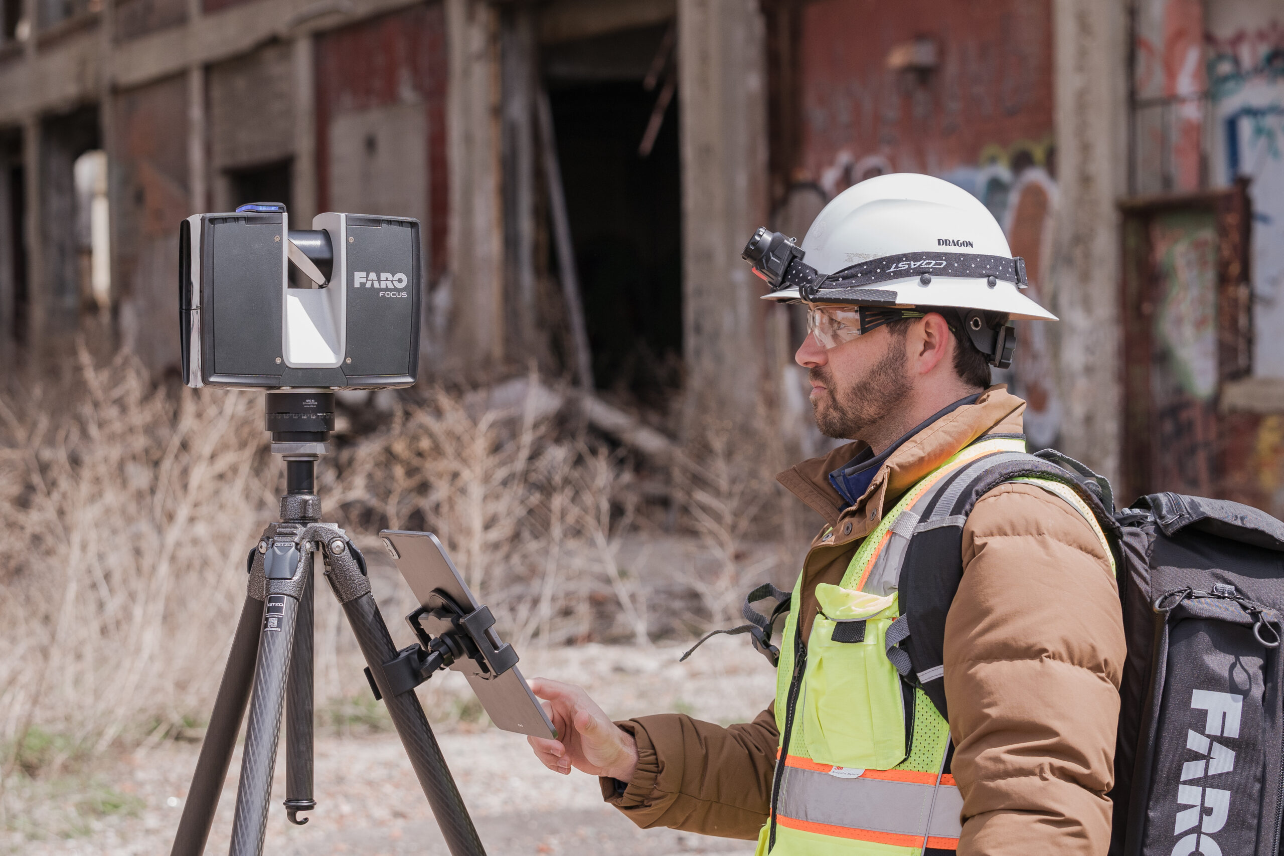
Laser Scanning & Reality Capture
Years of experience working with laser scanning and point clouds in construction means you get the best results for your investment. We utilize 3d laser scanning for construction to document as-built conditions with millimetric accuracy, reducing the risk of clashes during the installation of MEP systems.
Our approach to 3d laser scanning involves not just capturing data, but making it actionable for your superintendents and project managers. By implementing 3d laser scanning for construction early in the project life cycle, we help identify discrepancies between design intent and field reality. Our mastery of laser scanning ensures that every beam, pipe, and conduit is accounted for in the digital space.
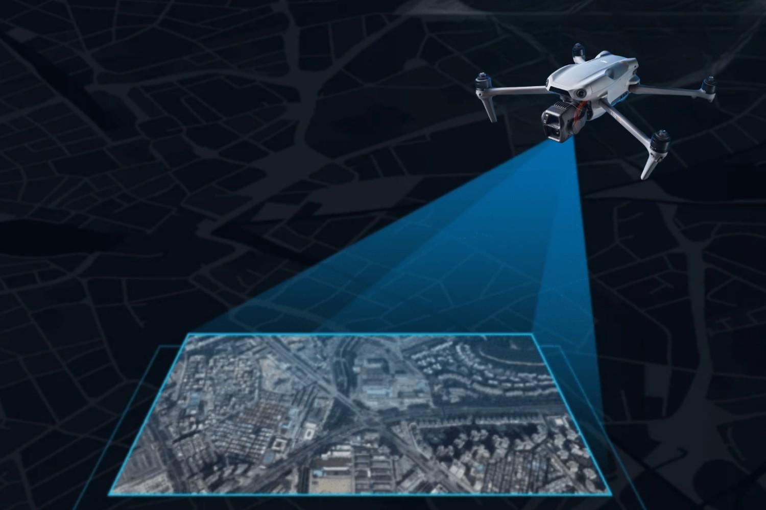
Drone Aerial Mapping & Surveying
Orange Grove Partners provides up-to-date aerial documentation of your project on demand. By utilizing drone surveying and mapping, we allow your team to track progress, plan complex logistics, or memorialize underground utility locations with absolute precision.
Our drone aerial surveying capabilities ensure that you have a bird’s-eye view of the entire site, providing data that traditional ground methods might miss. Whether you need a high-altitude aerial survey for site planning or detailed drone surveying and mapping for volume calculations, our team delivers high-resolution results. Frequent aerial survey passes help keep stakeholders informed and projects on schedule, providing a visual record that is invaluable for large-scale coordination.
VDC Execution Planning
VDC efforts can be costly without the correct plan—let OGP be your guide. We specialize in creating frameworks that integrate digital twins services into the heart of your project, ensuring that the virtual model is a living reflection of the physical build. Our team helps you navigate reality capture software to manage the massive amounts of data generated during the design-build process.
Without a proper roadmap, digital twins services can become disorganized; we ensure your VDC strategy is streamlined and effective. By aligning your team with the right reality capture software, we help you avoid the pitfalls of data silos and ensure a smooth flow of information from the office to the field.
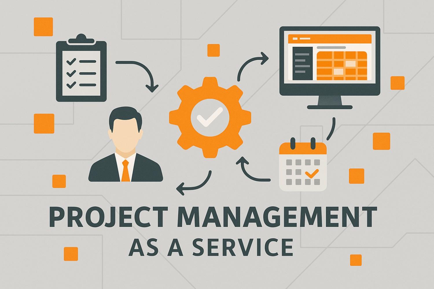
Project Management & Supplemental Staffing
Supplement your project management team with our experts through short-term or long-term management services. We act as a technical extension of your staff, specializing in the oversight of digital twins services and the deployment of 3d laser scanning workflows. Our team ensures that the data gathered from an aerial survey or a laser scanning session is properly analyzed and utilized by the field crew.
By letting OGP manage the technical hurdles of reality capture software, your permanent staff can stay focused on the primary goals of safety and schedule.
Constructability Review & ConTech Implementation
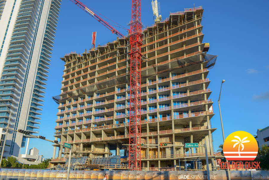
Let OGP review your construction schedule and design documents to provide an impartial review of critical path items. We use 3d laser scanning data to verify that design documents match existing field conditions, identifying potential issues before they become expensive field changes. Additionally, our team of experts will guide your team through the successful adoption of new technology and reality capture software.
We specialize in 3d bim modeling services and drone aerial surveying implementation, ensuring your crew is trained and confident. From the first time you capture 3d data to the final hand-off of a digital model, OGP is there to ensure your technology investment pays off.
3D Modeling & BIM Services
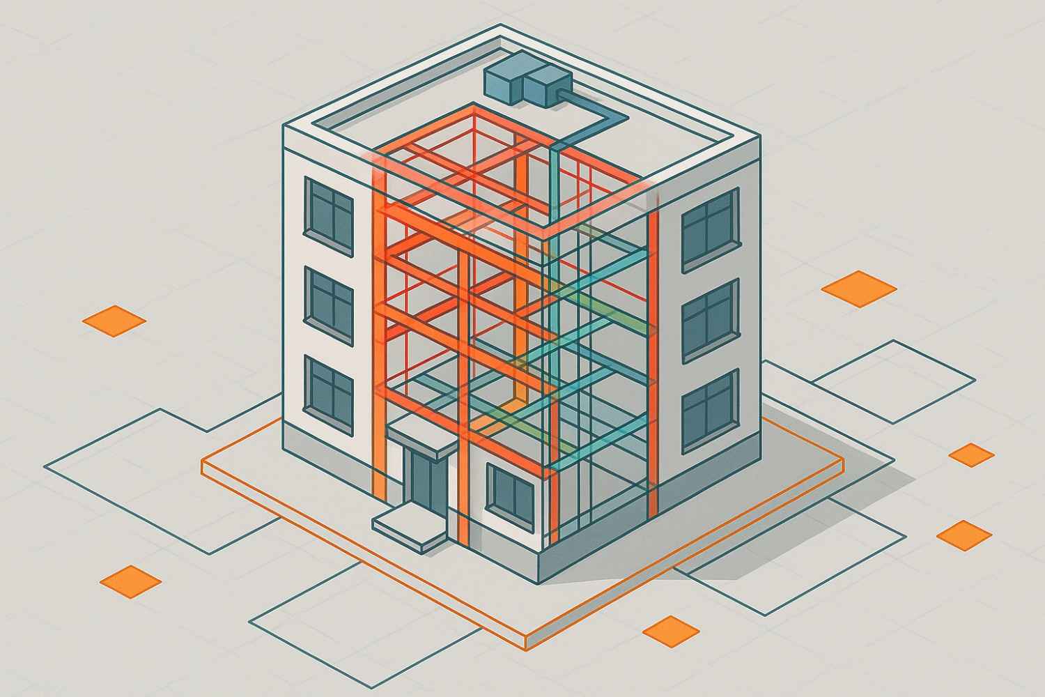
OGP provides comprehensive 3d modelling and rendering services to help visualize complex project components before they are installed. Our 3d bim modeling services transform raw point clouds into intelligent, data-rich models that serve as the backbone for coordination. When we capture 3d data on-site, we don’t just leave you with a file; we integrate it into our 3d modelling and rendering services to provide a clear path forward for construction.
Utilizing 3d bim modeling services allows your team to rehearse installations virtually, saving time and material costs. We help you capture 3d environments and turn them into functional assets that improve the overall quality of the final deliverable.
Request a Constructability Review